History of Old Park
Old Park and Chequers Wood has a rich history running from the very earliest humans to the present day.
Early Human History
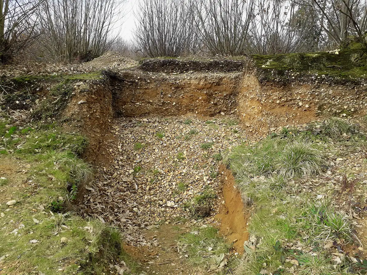
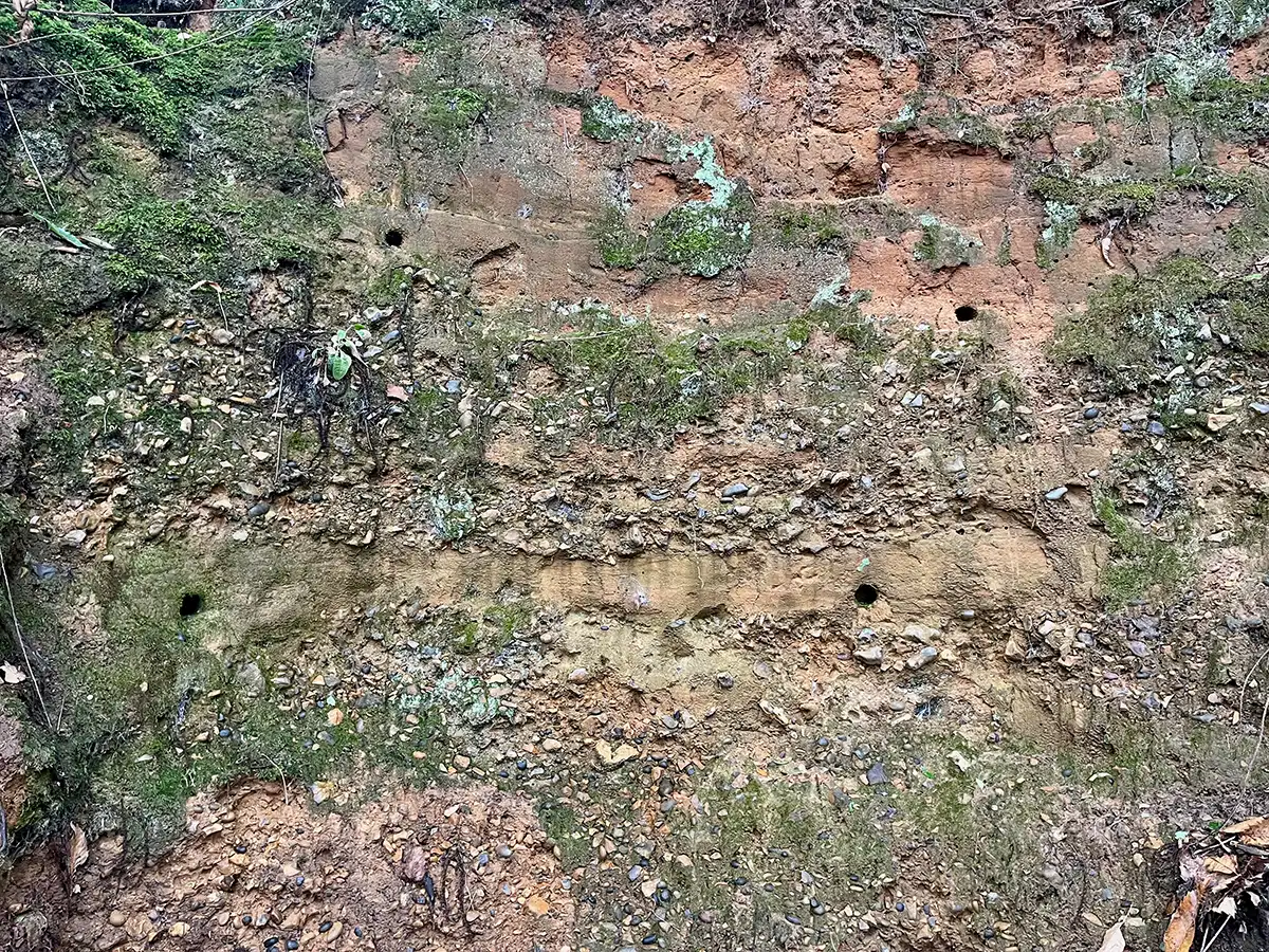
Old Park is the oldest excavatable archaeological site in the UK, and the third oldest in Europe. Recent excavations led by the Department of Archaeology at the University of Cambridge have not only dated the original site but have also identified many stone tool artefacts, in the form of sharpened flints from our early human ancestors. The new discoveries confirm that Homo heidelbergensis occupied southern Britain over half a million years ago and give tantalizing evidence of the lives of these hunter-gatherers at a very early point in European pre-history.
Photos of archaeological dig-sites, showing different geological layers of flints…
The Water Supply for the City
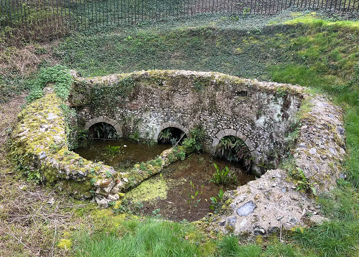
Old Park has played an important part in the history of water supply to the city. Composed of permeable sand and gravel, lying over impermeable clay, the area is a natural reservoir. Percolating through the sand and gravel, water emerges at natural springs and ponds.
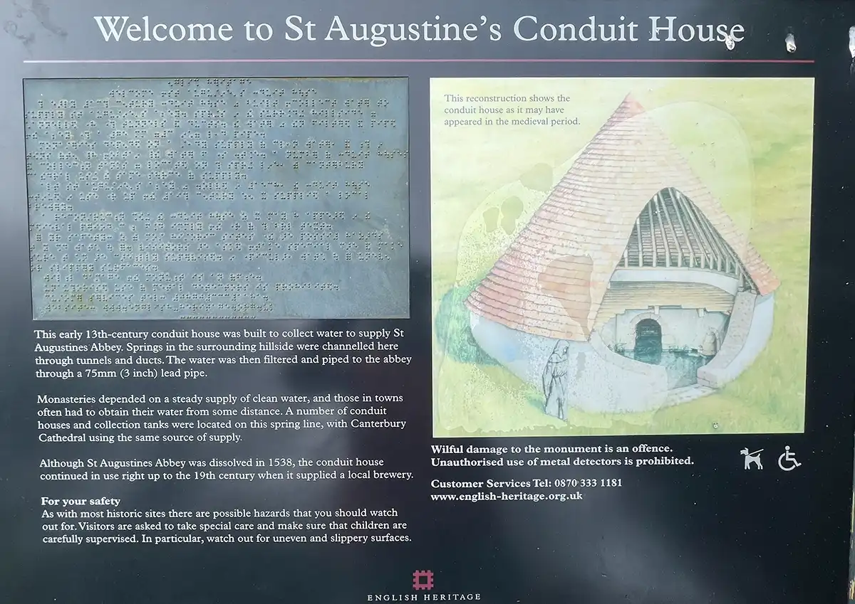
The Romans were the first to pipe water from the springs to the city, but currently all that remains of the elaborate piping system are the conduits built by the 12th century monks to supply St Augustine’s Abbey and Christ Church Priory at the Cathedral. The former conduit is looked after by English Heritage. The latter is located near the Prince of Wales Youth Club, but needs restoration.
Sheep’s Sorrel
A Royal Hunting Park
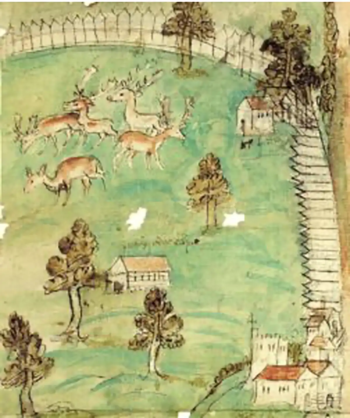
The land which now comprises Old Park and Chequers Wood was owned and farmed by the monks until the dissolution of the Canterbury monasteries in 1538. The land was then taken over by the Crown, and St Augustine’s Abbey was re-modelled as a royal palace. The new owners created and fenced a royal deer park, and there are records of King Henry VIII hunting in the Old Park and of Queen Elizabeth partying at the palace.
The deer park is illustrated on the top left-hand corner of the map below, which is considered to have been drawn in the late 16th century. The map is stylised and is not to scale, but shows the road from Canterbury to Sandwich running vertically through the middle of the map. As the road leaves the city, it passes the former Abbey on the left surrounded by a robust wall and then St Martin’s church beyond that. The map has been reproduced here courtesy of the Cathedral Archives.
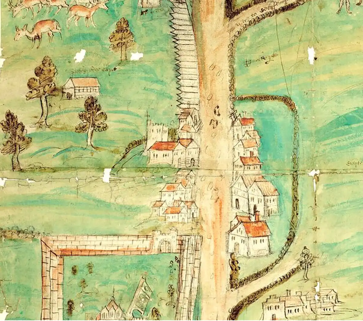
16th Century Maps showing the Tudor Deer Park at Old Park
Two Centuries of Military History
The threat of Napoleonic invasion in the 1790s led to a rapid increase in the number of troops stationed in Canterbury due to the city’s proximity to the continent. Three large barracks were constructed on the edge of Old Park for the cavalry, infantry, and artillery. The number of troops swelled to over 2000 and stayed around that figure for almost two centuries. Old Park and Chequers Wood were used for military exercises throughout this period. Aerial photos of the area have revealed extensive evidence of the trenches dug for training purposes in World War I.
In recent years, most of the barracks have been demolished to make way for new housing developments, but relics of the military’s long presence in Canterbury can still be seen in boundary stones, tank traps, the driving range, the old army chapel, and the riding school.
For more detailed information about the history of Old Park, it is well worth reading Phillip Thorne’s publication on ‘The Story of Old Park, Canterbury Golf Course and St Martin’s Parish, Canterbury’, dated June 2022. Read the publication here.
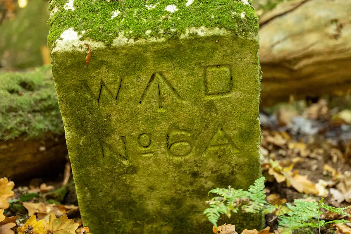
Photo of one of the War Department’s ordnance survey markers, showing the department’s arrow symbol. The War Department became the Ministry of Defence in 1964.